I have fallen behind in my writing of these blog posts. Or maybe I haven’t, as there truly is no set schedule. This feeling is reflective of the constant “I’m behind” perspective through which I normally view my life. Usually, I jot down a few notes after each hike, but I didn’t do that after this hike. However, the large number of photos brings me back to the day like it was yesterday.
On this day Kim and I hiked 11.3km of the Iroquois section of the Bruce Trail. We walked through the wilderness below Waterdown, bordered by Highway 6, Highway 5, Kerns Road and the Escarpment edge. This rocky, wooded island exists within urban boundaries that are part of so many people’s everyday. This will mostly be a pictorial blog, capturing the beauty of a spring day, when life is bursting out and the sunshine feels so good.

Immediately on the other side of Highway 6, the east side, we came upon these ruins. They reminded me of the old lime kiln that existed on my farm growing up. There are many pioneer ruins in Flamborough – I could not find anything online about this one. It would certainly have been a challenge to homestead on the side of the Niagara Escarpment.

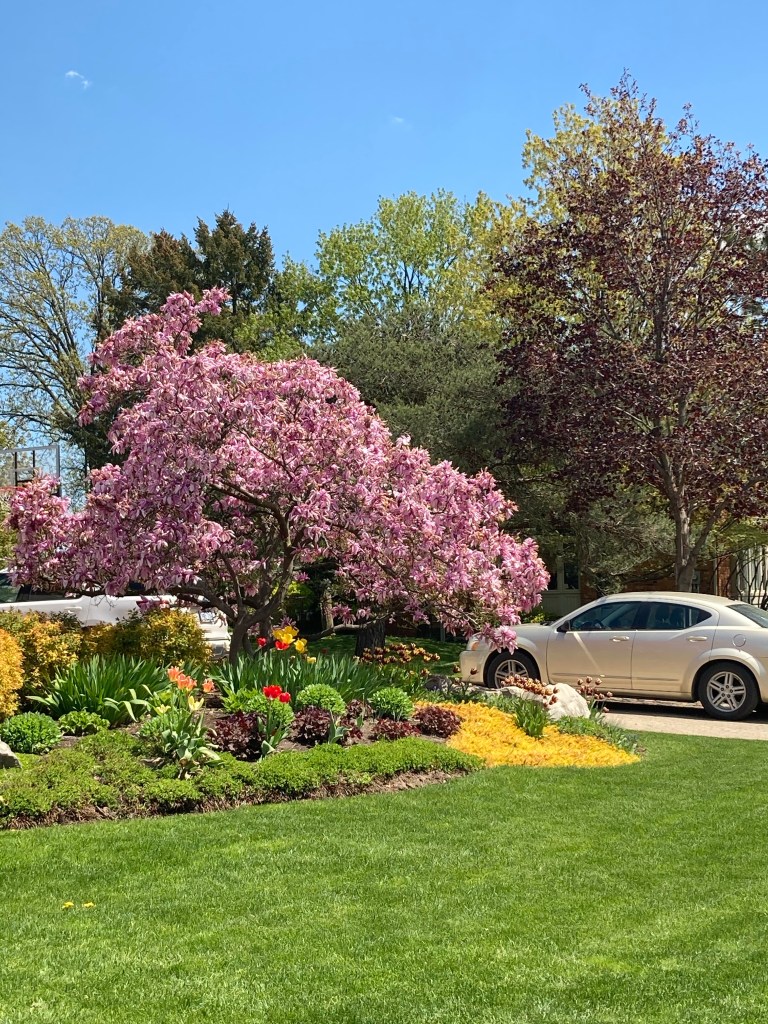
The most recognizable, and most beautiful, May flower.


This rail line that we crossed below Waterdown is the same one that runs behind Kim’s house. I wonder what was here first, the railway or the Bruce Trail. I suspect the train, but this construction looks so clean and new.

One day I would like to be a Bruce Trail volunteer and build beautiful bridges – that is after I catch up on my blogs..
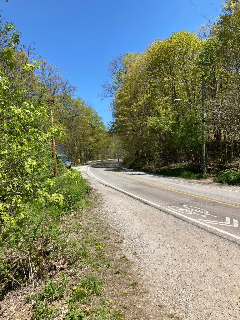
When I was a child, my father had a sailboat and we often had dinner at the Hamilton Yacht Club. He instilled a sense of adventure in me from very early on. Our preferred route back to the farm was always Snake Road, so windy and hilly in the dark – much more fun than Highway 6. Back then I would beg “Daddy, please can we take Snake Road!”
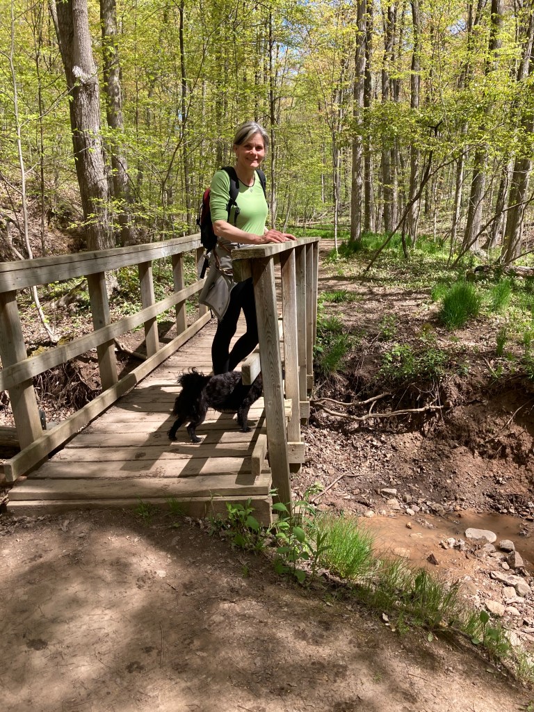
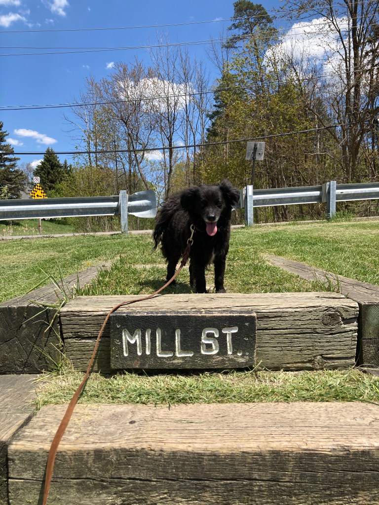
I love this next photo. So many pieces coming together to capture a perfect Bruce Trail hiking moment.
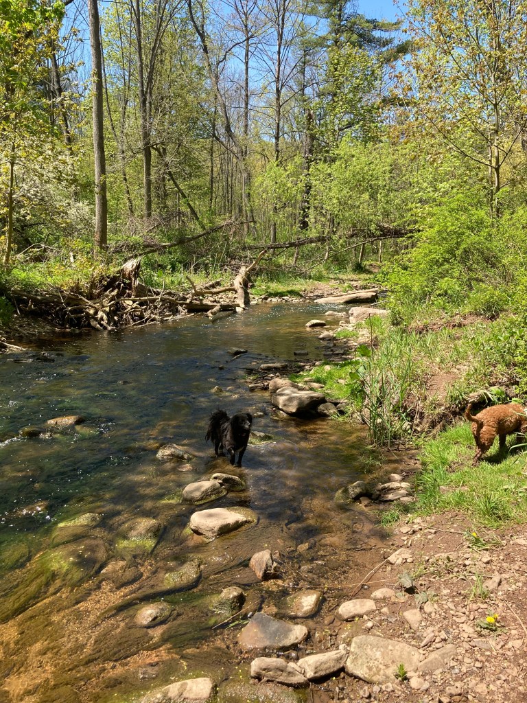
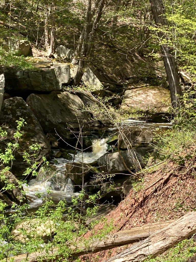
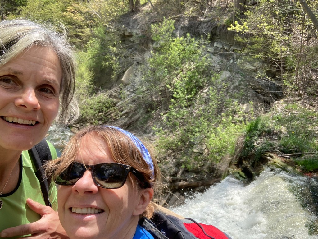
Soon the trail crosses Grindstone Creek and follows its bank north towards Waterdown. We had both been on this section of trail before. With its multiple waterfalls and proximity to town, it is a popular recreational path. It was nice to be able to walk in one direction on this day and not have to retrace our path to get back to the car!

Further upstream there is a living rock sculpture project. This has been here for some time, hikers and children adding to the monuments. I had seen this on previous walks but I suspect it is rebuilt every year after the winter snow and the spring run off tear it down.


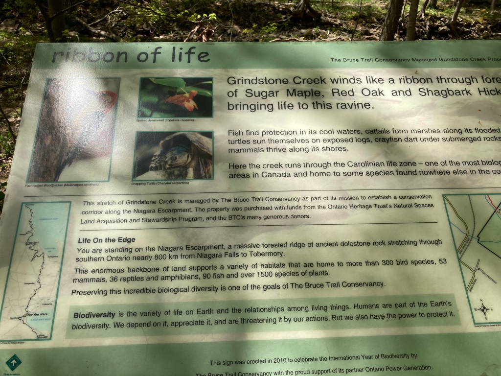
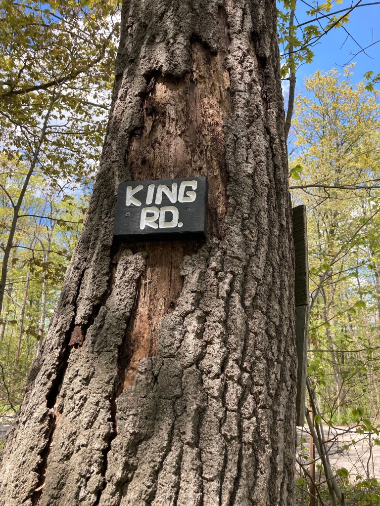
I am one of those people that stops to read all of the signs. I also post good ones in my blog! This one has a “You are Here” map to offer some perspective.
More Grindstone Creek photos. It is a beautiful section but we had to leash the dogs as we were getting closer to the busy parking lot.

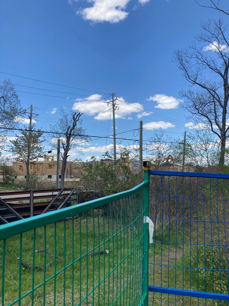
The next part of the trail passes through a subdivision and even that looks beautiful in May.
Small sections of woods still hold the greatest spring charm.

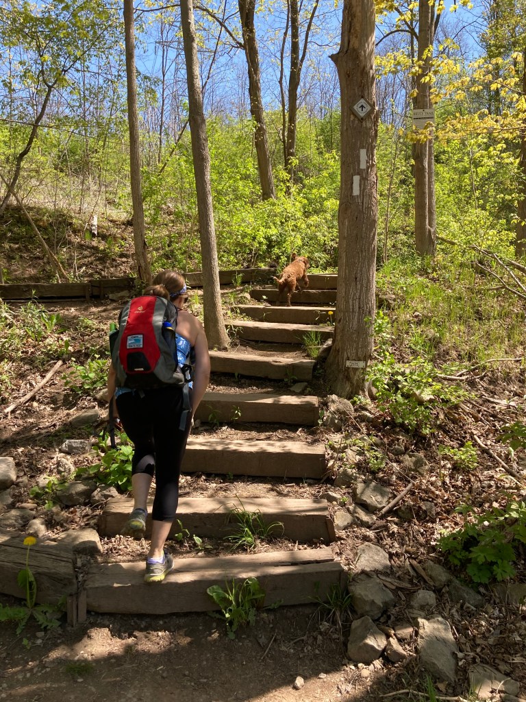
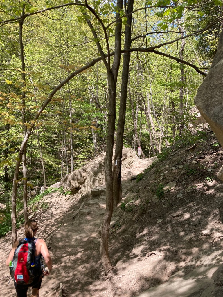
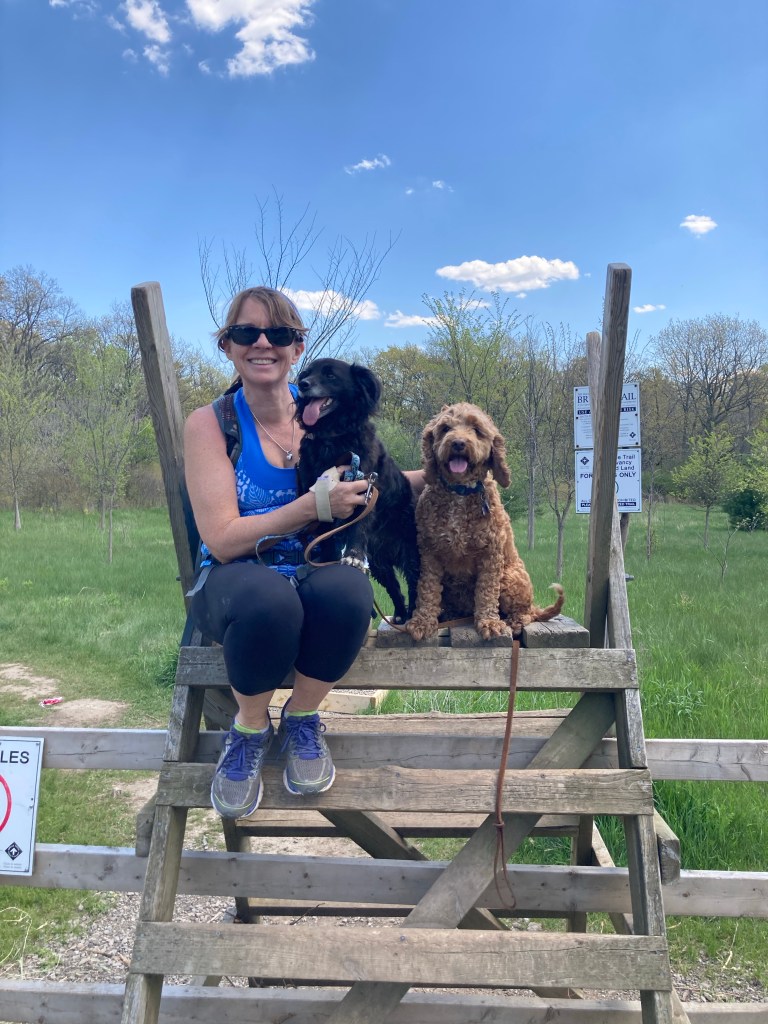
Off of Mountain Brow Road the trail enters the “wild” again. Our little dogs seem to want to go over the ladders with us even though in many places they could just duck under the fence.
The Bruce trail mission statement includes “Preserving a ribbon of wilderness..”. It will be a narrow one if this keeps happening.
So many ash trees died due to the Emerald Ash Borer. Although these wood chips sanitize the hiking experience, perhaps it is a good use of the dead trees. This is in the “Waterdown Woods”.


We headed east towards Burlington, hiking once again along true Escarpment edge. This always affords fantastic views and this particular one sparked a distant memory for Kim. Kerncliff park had been created on the site of an old quarry and Kim remembered exploring this park with Brett, before children and life’s major responsibilities. Refreshing old memories is an exquisite experience when a treasured person is no longer here to help you create new ones.

We had left a vehicle at City View Park off of Highway 5 and had to take a short side trail to get there. This spot should mark the end of our “urban” hiking as we will now begin to head north away from Hamilton and the surrounding suburbs that wrap around the western end of Lake Ontario. At kilometre 155 of this trail, we had over 735km of greater “wild” to look forward to!

